Discover unparalleled precision and adaptability with KatRisk, where cutting-edge technology meets deep industry expertise to revolutionize risk management.
At KatRisk, our unique approach combines scientific precision with real-world applications. We specialize in developing high-fidelity, probabilistic models for assessing catastrophe risks across multiple perils, including floods, severe convective storms, and wildfires. Our models are meticulously designed to enhance underwriting, claims handling, and overall risk management, making us a leader in the catastrophe risk modeling field.

Built on powerful open-source technologies R (graphics and statistics) and C++ (fast code execution), our SpatialKat platform delivers repeatable, transparent, and extendable loss computations. Users have efficiently incorporated their own view of risk including implementation of entirely new/proprietary model data.
Scalable software allows for almost linear reductions in runtime with additional processors.
With 25 processors:
Millions of locations can be analyzed rapidly with minimal hardware requirements. Software was built using R/R-Shiny so all code and data is open.
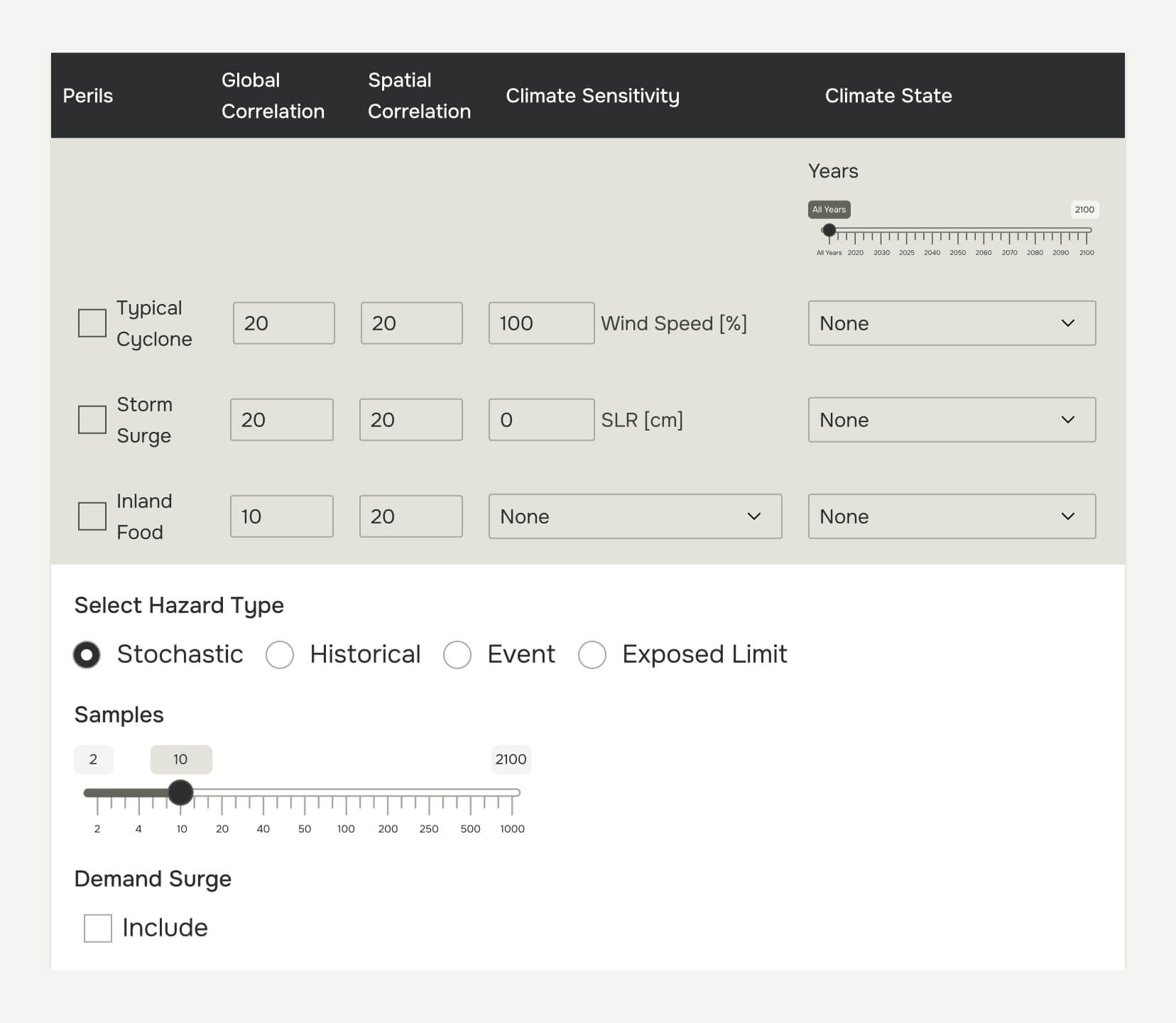
Understanding the impact of climate change on property risk is crucial, and KatRisk is at the forefront of this analysis. With SpatialKat and Hazard Data, you can identify changes in risk due to climate change at the portfolio and location level.
Our models are equipped to test various climate change scenarios for present time, 2025, 2030, 2035, 2040 and every 10 years beyond to 2100, allowing businesses to anticipate and prepare for future risks effectively. Sensitivity options allow uniform hazard adjustments for all events/locations.

The SpatialKat financial model allows for quantification of insured losses considering complex financial structures for both primary insurance and reinsurance. Because the model utilizes a sampling approach, calculation methods are transparent, traceable, and fast. Correlation between location samples can be varied based on the spatial proximity of risks.
FMKat is a module within the SpatialKat software that allows results from any model to be analyzed with the KatRisk financial model.
By event-location-coverage losses from any model can be imported, along with financial terms, and run through the KatRisk financial model.
By-event sampled losses at site, policy, account, and portfolio levels for each financial perspective.